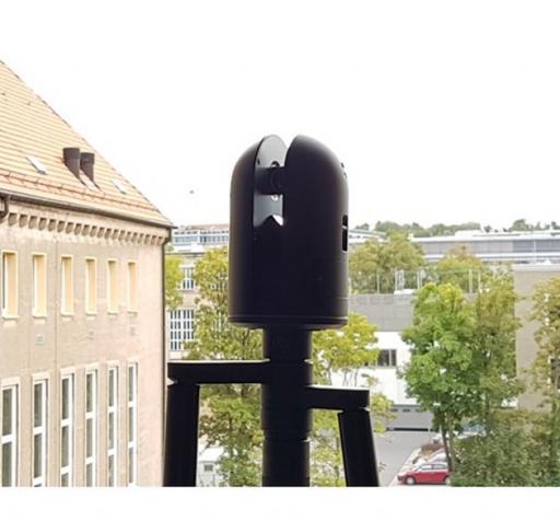
Terrestrial Laser Scanner System Leica Geosystems BLK360
Basic Information
| Name: | Terrestrial Laser Scanner System | |
| Manufacturer: | Leica Geosystems | |
| Model: | BLK360 | |
| Facility: | Chair of Photogrammetry | |
| Partner: | Technische Universität Dresden (TUD) | |
Short Description
"The scanner captures the world around you with full-colour panoramic images overlaid on a high-accuracy point cloud. Simple to use with just the single push of one button..."
Description
"The Leica BLK360 captures the world around you with full-colour panoramic images overlaid on a high-accuracy point cloud. Simple to use with just the single push of one button, the BLK360 is the smallest and lightest of its kind..." [leica-geosystems.com]
Technical Details:
- Measurement Range: up to 60 m
- Accuracy: 4 -7 mm @ 20 m
- Laser class 1
- Speed: 360.000 Points/Sec.
- View: 360° x 300°
Link to Further Details
https://leica-geosystems.com/de-DE/products/laser-scanners/scanners/blk360
Points of Contact
Images
Last Update
Last updated at: 8 October 2018 at 11:19:54

 View all instruments of this unit
